

STANDALONE TRAIL MAP
TRAIL INFORMATION

Trail Creek Trail #305
// track pieces: 137, // elevation pieces: 137
Details
| Status: | Open |
| Difficulty: | Beginner |
| Uses: | Mt Biking & Hiking |
| Length: | 1.1 miles |
| Start: | 6,072' |
| End: | 6,135' |
| Min: | 6,070' |
| Max: | 6,135' |
| Gain: | 100' |
| Loss: | -37' |
| fly your trail in 3D | |
 |
Google Earth KML file
Download KML file above, open in Google Earth to see this trail in 3D! |
| don't get lost |
| GPX file (right click to download)
Download GPX file above, upload the track to your GPS or smartphone and you'll always know where you are!! |
Trailhead Forecast
Snowfall
New Snow last 12 hours: 0.34". New Snow last 24 hours: 0.8".Description / Access Information
Trail Creek Trail #305: This trail meanders beside Trail Creek for just over a mile and is perfect for a leisure stroll, ride, or run. The trail is wide and gives spectacular views back toward Bald Mountain.*For more detailed descriptions, topo maps, and information on the history, geology, and wildflowers of the Wood River Valley pick up a copy of Exploring Sun Valley online or find it at one of several local shops.
Photos
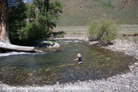 |
| Cooling off on Trail Creek |


